Development & Special Initiatives
Climate-Informed Planning & Development DSS
CLIM-PLANNED is your gateway to informed decision-making, integrating data and expert analysis for actionable insights, predictions, and recommendations.
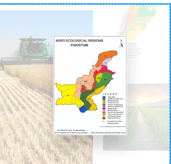
Agro-Suitability Pro
Analyze optimal crop choices across Pakistan by evaluating climate, soil, and water availability.
Explore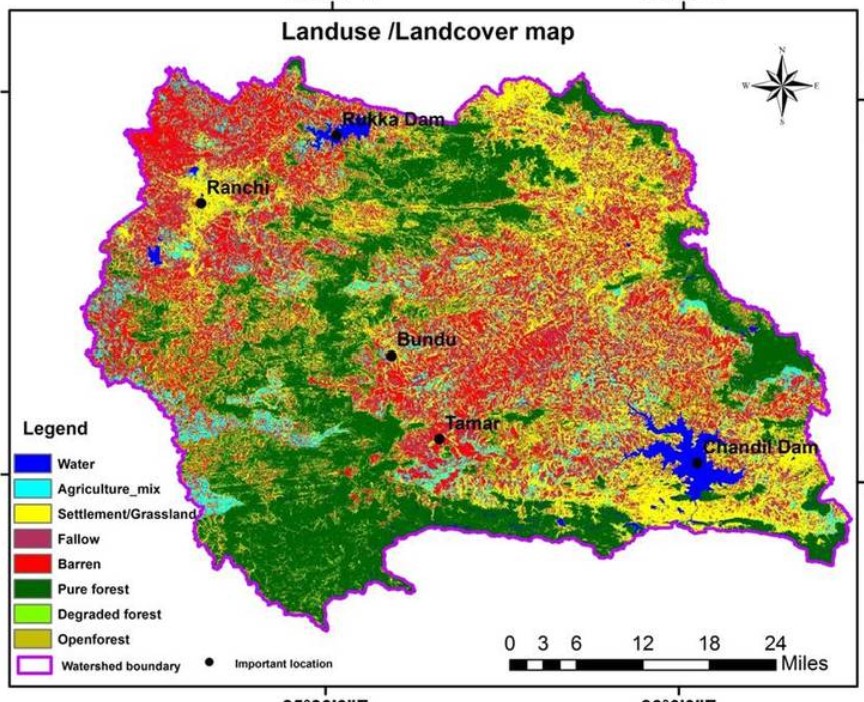
Land Use & Land Cover
Land cover is what covers the surface of the earth and land use describes how the land is used.
Explore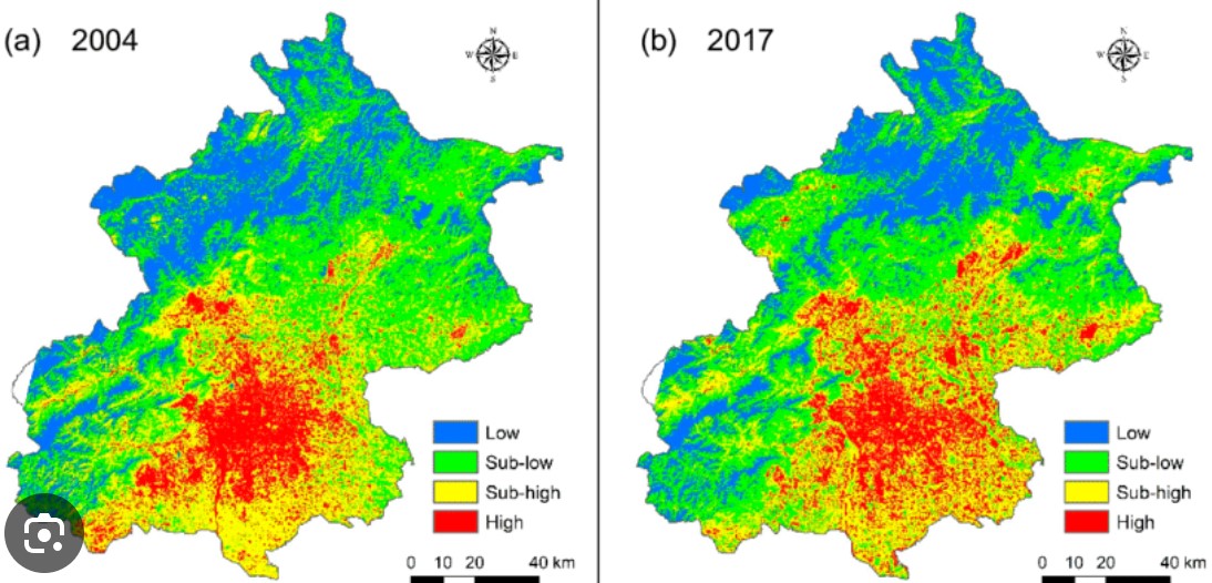
Land Surface Temperature
Land surface temperature (LST) is the radiative skin temperature of the land derived from solar radiation.
Explore
Green Transport
Forecast greenhouse gas emissions in Pakistan's transport sector and discover strategies for reduction.
Explore
RDAS
Access real-time climate analytics, predictive tools, and sectoral insights for South Asia with AI-driven intelligence. Integrate dynamic climate intelligence into planning and policy-making for resilient and data-driven decisions.
Explore
ADVISE
Empowering climate-smart agriculture in Pakistan with real-time, data-driven decision-support systems for resilient and sustainable farming. Providing timely and reliable climate-informed crop advisories to farmers in Punjab and Balochistan for better yield and resilience.
Explore
Data & Analytics
Explore comprehensive data on hazard events with metrics such as event frequency and economic impacts.
Explore
Resources
This section contains forms and sample documents for complaints and decision support arrangements.
Explore